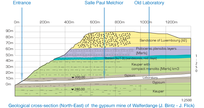
The Walferdange Underground Laboratory for Geodynamics (WULG)
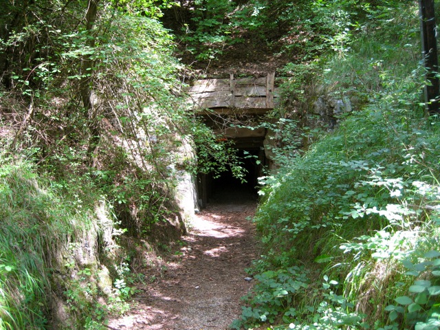
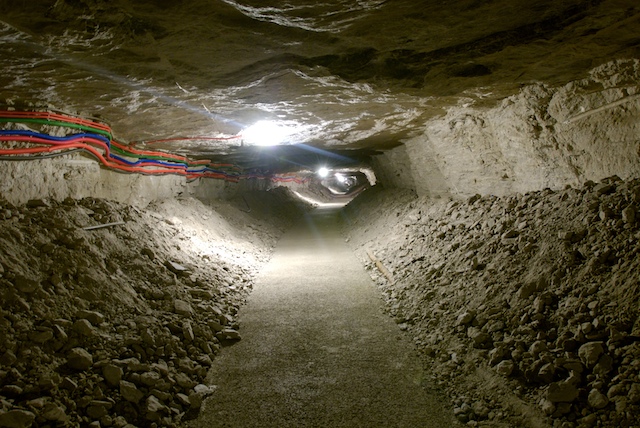
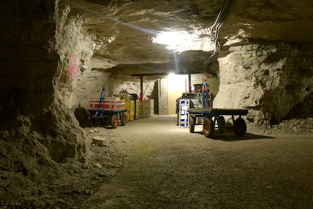
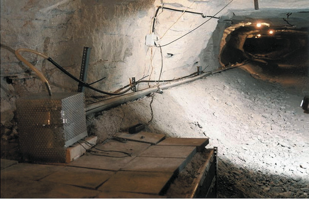
The Walferdange Underground Laboratory for Geodynamics (WULG) is located in an gypsum mine (originally exploited by a commercial company). The thickness of the sedimentary surface layer above the central part of the mine system amounts to about 80 meters. The distance from the entrance to the "Old Laboratory" is about 1km and the temperature about 13°C at the terminal of the main gallery where the old laboratory is situated.
This is the ideal place to perform very high precision geophysical measurements.
The mine has hosted the laboratory since 1967 when the first instruments were installed (gravimeters and pendulums). Since that time, many more instruments for geophysics and seismology purposes have been installed.
The advantages of the gypsum mine are:
- stable temperature
- no running water
- low anthropogenic noise level
- easy to access
General technical facilities
Local time basis
The observation of geodynamical time series claims an efficient facility to synchronize the CPU-time of the individual data recorders permanently to Universal Time UTC. For that reason the Walferdange Underground Laboratory for Geodynamics (WULG) has been supplied with a Meinberg NTP TimeServer. The time offsets between that time server and UTC in general don't exceed 1 Millisecond, in avarage they are at present less than 0.3 Millisecond. A connection of any recorder computer to the time server can be established.
Remote access to recorder computers
Unnecessary local inspections of installed measurement systems should reasonably be avoided. Therefore a remote connection facility allows the access to a recorder computer inside of the WULG from any computer outside of the WULG and enables to control the state of the individual observations permanently from any remote site.
Map of the Walferdange Underground Laboratory for Geodynamics (WULG)
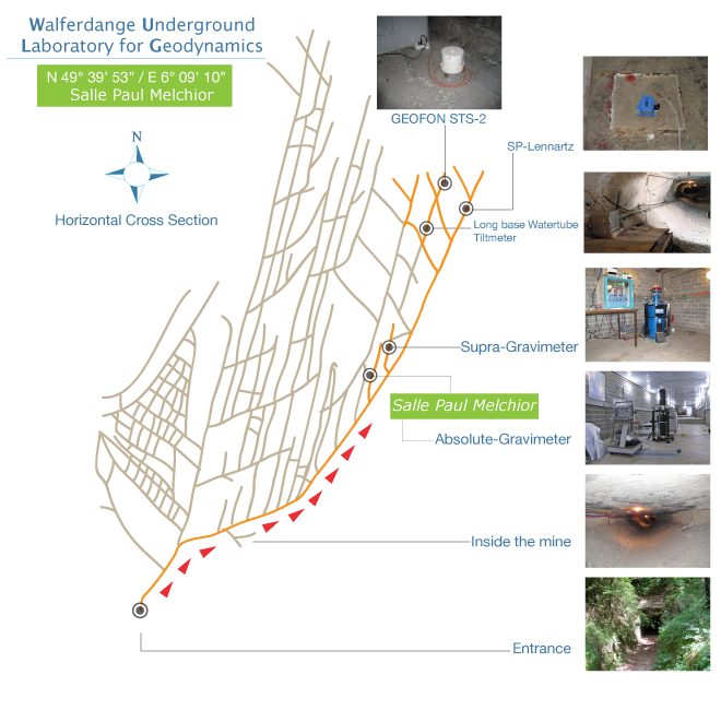
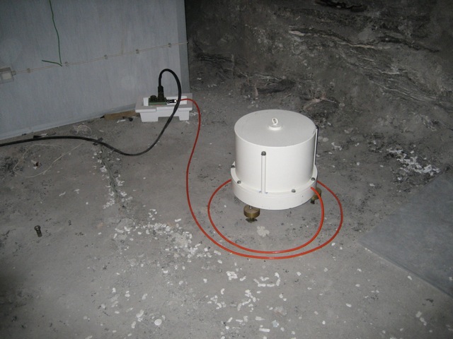
Instrumentation installed in the Walferdange Underground Laboratory
The following instruments are installed in the Underground Laboratory: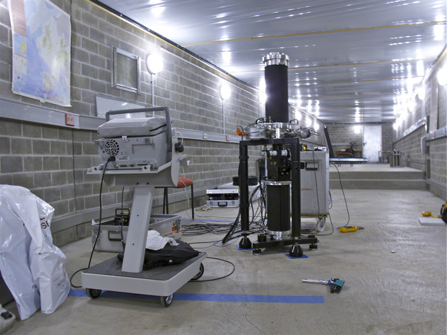
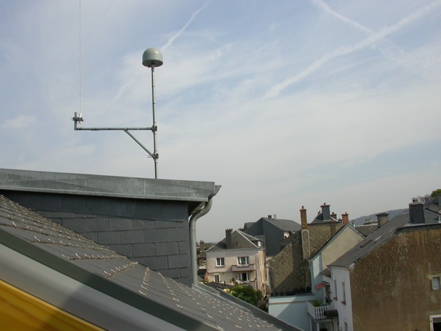
GPS reference station
One of the GPS reference station antenna for Luxembourg is installed since 2002 on the roof of the ECGS office building in Walferdange.
The real-time acquired GPS-data is automatically transferred to the Administration du Cadastre et de la Topographie (ACT), Luxembourg.